spacey: Obtain Spatial Data and Make Better Maps
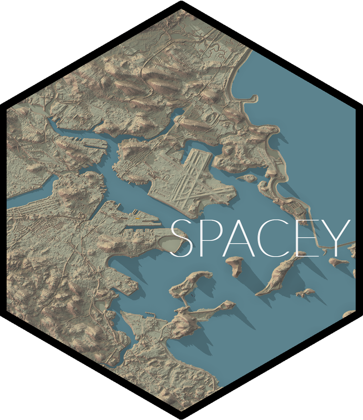
The spacey package provides three main functions to make it easy to
quickly build beautiful maps of locations in the United States via the
rayshader package. First
off, it provides an automap function to quickly make maps using data
from the USGS national map, as well as letting you incorporate overlay textures from ESRI’s
MapServer API and optionally even turn these into 3D visualizations.
All of these can also work with the future package to speed up
processing, letting you iterate on your map designs faster!
And while automap tries to make it easy to configure these maps,
spacey also lets you save off your heightmaps and overlays directly
through the functions get_heightmap and get_overlay, so that you can
work directly with rayshader to make these maps by yourself.
There’s a lot more to these three functions, alongside a few basic
geospatial utilities spacey implements to make it easier to make maps
from your data. For more information, check out the introductory
vignette.
You can find more information about this project in the documentation, or check out the code on GitHub.
Mike Mahoney
Analyst at Wayfair (Workforce Management - Forecasting & Analytics)
Data Science and DevOps